Infrastructure
GIS Mapping Of National Highway Network To Be Completed By 31 July; Will Allow Better Planning And Monitoring Of Road Network
Amit Mishra
Jun 24, 2022, 02:47 PM | Updated 02:47 PM IST
Save & read from anywhere!
Bookmark stories for easy access on any device or the Swarajya app.
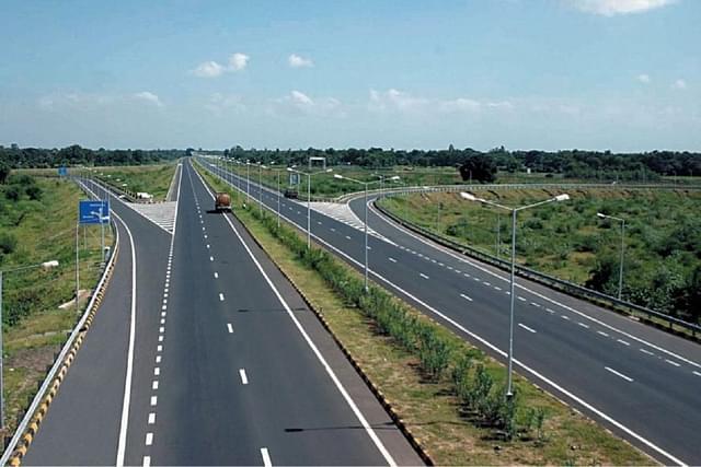
The vast network of national highways (NHs) is poised for a technological makeover as the Ministry of Road Transport and Highways (MoRTH) has speeded up the process of completely mapping roads with geographic information system (GIS) by 31 July 2022.
The ministry has asked all the state and central agencies engaged in developing and maintaining roads to coordinate with their regional offices so that field surveys can be conducted to update and verify details of the mapping done so far.
They have been told to use the data for mapping, already gathered by the Bhaskaracharya National Institute for Space Applications, for field verification exercise.
Bhaskaracharya National Institute for Space Applications and Geo-informatics (BISAG-N), Gandhinagar, Gujarat has done GIS mapping of approximately 130,000 km of NHs in the country. But this data now needs to be updated and verified by field units of the different agencies for the ministry.
The National Highway Authority of India (NHAI), the prime highway executing agency, has almost completed verifying the details of the NHs assigned with them with the cooperation of their field units.
The field units of the ministry and other executing agencies such as state Public Work Department (PWD), Road Construction Department (RCD), Border Roads Organisation (BRO) and National Highways and Infrastructure Development (NHIDCL) are also required to engage themselves with BISAG-N for verification and updation of the GIS mapping of all NHs under their jurisdiction, said the communique.
GIS Mapping
A GIS is a system that creates, manages, analyses, and maps all types of data. GIS connects data to a map, integrating location data (where things are) with all types of descriptive information (what things are like there). This technology integrates common database operations such as query and statistical analysis with the unique visualisation and geographic analysis benefits offered by the maps.
GIS maps contain a very detailed visual representation of any infrastructure facility including location, topography, facilities and structures, and images. As these maps can easily be accessed even through mobile phones and shared, it makes the process of road construction and finalisation of highway networks easier.
Officials said GIS mapping of the entire NH network is one of the most important requirements for planning, executing and monitoring the network but the task has not been completed so far and hence, a target of 31 July has been set.
The ministry has further decided to upload the entire NH network on a single unified platform irrespective of the executing agency, be it NHAI, NHIDCL, BRO or state governments, to avoid duplication.
Save & read from anywhere!
Bookmark stories for easy access on any device or the Swarajya app.
Amit Mishra is Staff Writer at Swarajya.
Support Swarajya's 50 Ground Reports Project & Sponsor A Story
Every general election Swarajya does a 50 ground reports project.
Aimed only at serious readers and those who appreciate the nuances of political undercurrents, the project provides a sense of India's electoral landscape. As you know, these reports are produced after considerable investment of travel, time and effort on the ground.
This time too we've kicked off the project in style and have covered over 30 constituencies already. If you're someone who appreciates such work and have enjoyed our coverage please consider sponsoring a ground report for just Rs 2999 to Rs 19,999 - it goes a long way in helping us produce more quality reportage.
You can also back this project by becoming a subscriber for as little as Rs 999 - so do click on this links and choose a plan that suits you and back us.
Click below to contribute.