Infrastructure
Pune To Bengaluru Expressway: NHAI Close To Finalising Plans For 700 km Greenfield Project That Will Reduce Travel Time Between 2 Cities To 6 Hours
- Estimated to be developed at a cost of Rs 50,000 Crore under the Phase-2 of the Prime Minister's flagship Bharatmala scheme, the propose expressway will originate at Kanjale on the under construction ring road in Pune and terminate at Muthugadahalli in Doddaballapur taluk of Karnataka connecting to Bengaluru via the Satellite Ring Road. At Pune, the expressway will also connect to the Pune-Mumbai expressway
- The alignment proposed expressway will be via a total of 3 districts in Maharashtra and 9 districts Karnataka- Pune, Satara, Sangli in Maharashtra and Belagavi, Bagalkot, Gadag, Koppal, Vijayanagara, Davanagere, Chitradurga, Tumakuru,Bengaluru Rural in Karnataka.
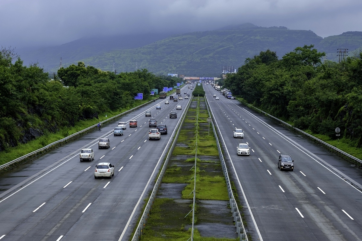
A Representative Image
The Union Ministry of Road Transport and Highways (MoRTH) has initiated the detailed project report (DPR) for the proposed greenfield Bengaluru-Pune Expressway.
Estimated to be developed at a cost of Rs 50,000 Crore under the Phase-2 of the Prime Minister's flagship Bharatmala scheme, the propose expressway will originate at Kanjale on the under construction ring road in Pune and terminate at Muthugadahalli in Doddaballapur taluk of Karnataka connecting to Bengaluru via the Satellite Ring Road. At Pune, the expressway will also connect to the Pune-Mumbai expressway
The six-lane expressway will be designed to cater to vehicle speeds at 120 km. Once completed, it will ensure that the travel time between two cities will be reduced to 6 hours from the current time of 13 to 14 hours it takes.
The proposed greenfield expressway will be around 700 km. The existing national highway portion of the road network between the Pune and Bengaluru is around 750 km while the total distance between the cities is roughly around 850 km.
The alignment proposed expressway will be via a total of 3 districts in Maharashtra and 9 districts Karnataka- Pune, Satara, Sangli in Maharashtra and Belagavi, Bagalkot, Gadag, Koppal, Vijayanagara, Davanagere, Chitradurga, Tumakuru,Bengaluru Rural in Karnataka.
In Karnataka, the expressway will start from Bommanal on the Maharashtra border in Athani Taluk. It will pass through Athani (Belagavi district) Jamakhandi, Bagalkot, Mudhol, Badami (Bagalkot district) Nargund, Ron (Gadag district), Yelaburga, Koppal Koppal district), Hagaribommanahalli, Kudligi (Vijayanagara district) Jagaluru (Davangere), Chitradurga taluk, Sira, Madhugiri, Koratagere and Tumakuru (Tumakuru district), Nelamangala and Doddaballapur (Bengaluru Rural district).
The expressway will have an interchange with other road networks at 22 places Two emergency airstrips close to Pune and Bengaluru with 5 km length will be built. 55 flyovers, tree plantation on both sides of the expressway, and a 15-metre median for prospective widening in the future are also envisaged as part of the expressway design.
The expressway will cross roughly 10 rivers Ghatapraba, Malaprabha, Tungabadhra, Krishna, Yerala, Nira, Chand Nadi, Chikka Hagari, Vedavath.
The expressway will pass through several proposed or existing industrial clusters in Karnataka
While preliminary survey has been complete, National Highway Authority Of India (NHAI) is expected to receive the detailed project report (DPR) in December. Once MoRTH approves the DPR, land acquisition and construction will begin. The expressway is expected to be opened to the public in 2028.
It is estimated that a total of 5,205 hectares will be required for the project in Karnataka alone.
Introducing ElectionsHQ + 50 Ground Reports Project
The 2024 elections might seem easy to guess, but there are some important questions that shouldn't be missed.
Do freebies still sway voters? Do people prioritise infrastructure when voting? How will Punjab vote?
The answers to these questions provide great insights into where we, as a country, are headed in the years to come.
Swarajya is starting a project with an aim to do 50 solid ground stories and a smart commentary service on WhatsApp, a one-of-a-kind. We'd love your support during this election season.
Click below to contribute.
Latest