Insta
‘Cartographic Hallucination’: Pakistan PM Imran Khan Unveils Country’s New ‘Political Map’ With J&K, Parts Of Gujarat As Its Territories
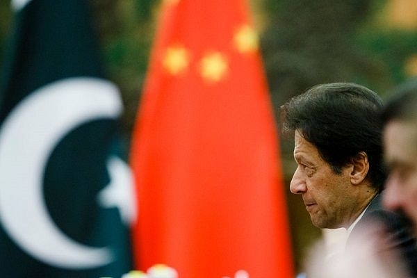
Pakistan Prime Minister,Imran Khan with a Chinese flag in the backdrop. (Thomas Peter-Pool/GettyImages)
Pakistan Prime Minister Imran Khan Niazi on Tuesday (Aug 4) unveiled what he claimed as the new “political map of Pakistan” identifying Jammu and Kashmir and Junagadh in Gujarat as its territories.
PM Khan said the new political map has been approved by his cabinet and will now be the "official map" used in schools and colleges.
Dismissing the ‘so-called political map’ released by Imran Khan, India’s foreign ministry said that it demonstrated Pakistan’s obsession with territorial aggrandisement supported by cross-border terrorism.
“This is an exercise in political absurdity, laying untenable claims to territories in the Indian State of Gujarat and our Union Territories of Jammu and Kashmir, and of Ladakh. These ridiculous assertions have neither legal validity nor international credibility,” external affairs ministry spokesperson Anurag Srivastava said in a brief statement.
Stating that these “ridiculous assertions” have neither legal validity nor international credibility, the MEA press note added, “In fact, this new effort only confirms reality of Pakistan’s obsession with territorial aggrandisement supported by cross-border terrorism”.
Hindustan Times quoted an Indian official as describing Islamabad’s effort to publish the document as a “cartographic hallucination”.
Support Swarajya's 50 Ground Reports Project & Sponsor A Story
Every general election Swarajya does a 50 ground reports project.
Aimed only at serious readers and those who appreciate the nuances of political undercurrents, the project provides a sense of India's electoral landscape. As you know, these reports are produced after considerable investment of travel, time and effort on the ground.
This time too we've kicked off the project in style and have covered over 30 constituencies already. If you're someone who appreciates such work and have enjoyed our coverage please consider sponsoring a ground report for just Rs 2999 to Rs 19,999 - it goes a long way in helping us produce more quality reportage.
You can also back this project by becoming a subscriber for as little as Rs 999 - so do click on this links and choose a plan that suits you and back us.
Click below to contribute.
Latest