Insta
Govt Launches 'Airspace Map Of India' To Check Flying Zones For Drone Operations
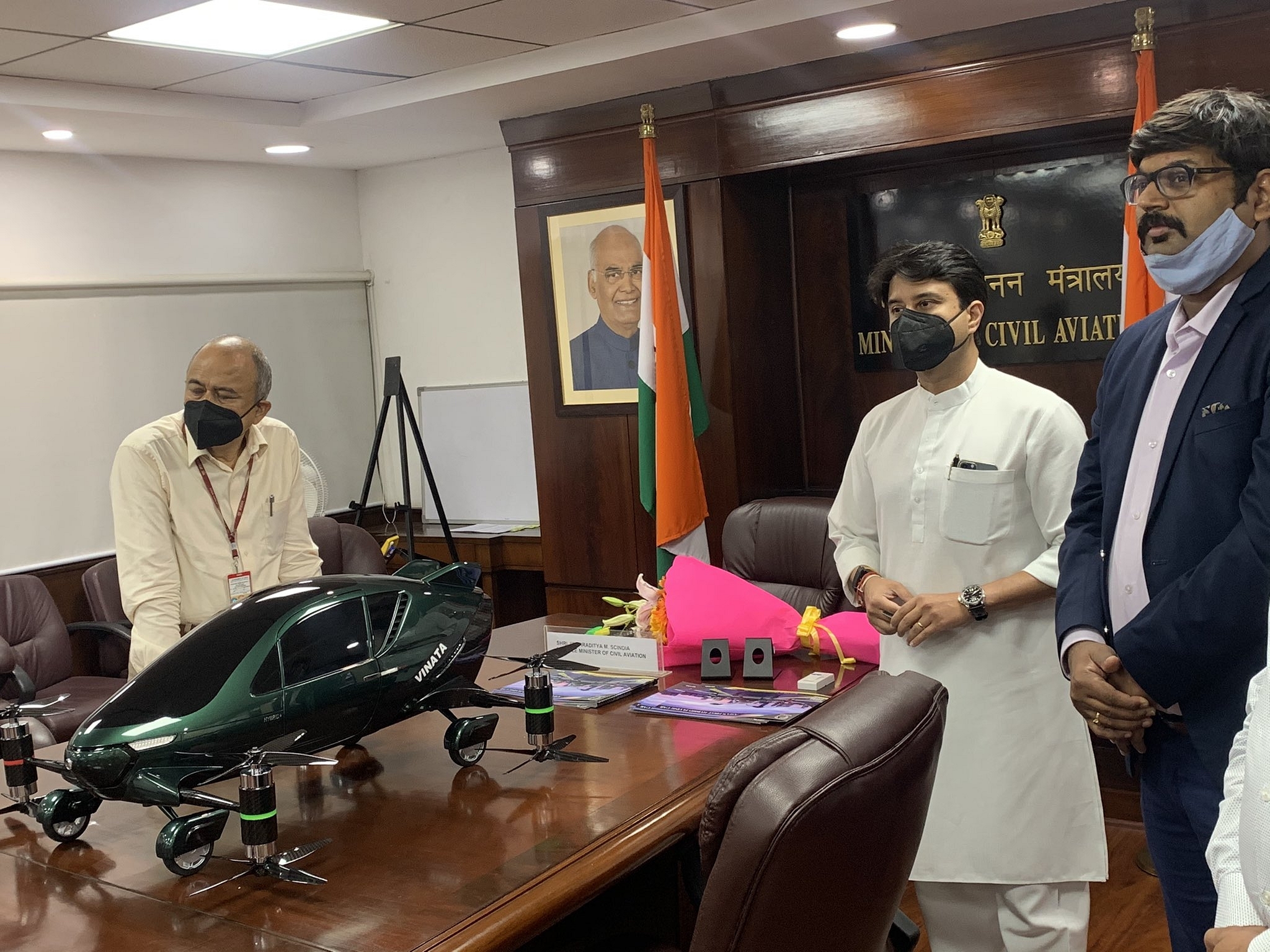
Civil Aviation Minister Jyotiraditya Scindia
The Ministry of Civil Aviation has launched a new airspace map for drone operations in order to allow civilian drone operators to assess the demarcated no-fly zones and go through specific formalities prior to flying a drone.
The MapMyIndia and IT services company Happiest Minds have developed the airspace map and it has been subsequently put up on the digital sky platform of the Directorate General of Civil Aviation (DGCA).
This map (available at https://digitalsky.dgca.gov.in/home) divides the airspace into red, yellow and green zones, with the latter two having separate norms that have been revised through the recent developments.
For example, no permissions are needed to fly drones with an all-up weight of up to 500 kg in green zones. In yellow zones, an approval is needed from the concerned air traffic control authorities for drone operations.
The central government has assured that the airspace map of the country can be modified and thus updated by the relevant entities on a timely basis, Financial Express reports.
Introducing ElectionsHQ + 50 Ground Reports Project
The 2024 elections might seem easy to guess, but there are some important questions that shouldn't be missed.
Do freebies still sway voters? Do people prioritise infrastructure when voting? How will Punjab vote?
The answers to these questions provide great insights into where we, as a country, are headed in the years to come.
Swarajya is starting a project with an aim to do 50 solid ground stories and a smart commentary service on WhatsApp, a one-of-a-kind. We'd love your support during this election season.
Click below to contribute.
Latest