Insta
MapmyIndia, ISRO Team Up To Take On Google Maps, Earth; To Offer Indigenous Mapping Solutions
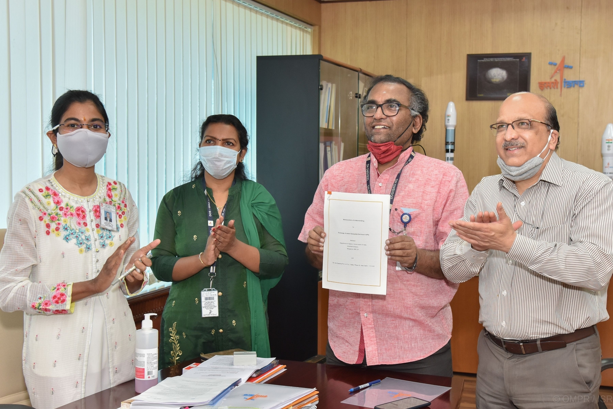
ISRO and MapMyIndia officials signed MoU on Friday (Pic Via ISRO Website)
In a bid to take on Google Maps, Indian Space Research Organisation (ISRO) and digital mapping and location-based deep-tech company MapmyIndia on Friday (12 February) announced a new initiative to offer a fully indigenous, mapping portal and geospatial services.
The services will combine the power of MapmyIndia's digital maps and technologies with ISRO's catalogue of satellite imagery and earth observation data.
Through the combined partnership with ISRO, MapmyIndia's end user maps, apps and services would be a much better, more detailed and comprehensive, as well as privacy-centric, hyper local and indigenous mapping solution for Indians, compared to foreign map apps and solutions, the company said.
"This partnership with ISRO heralds a new dawn of Aatmanirbhar Bharat in the strategic area of maps and geospatial technologies," Rohan Verma, CEO & Executive Director, MapmyIndia, said in a statement.
"You don't need Google Maps/Earth any longer", Verma said in the headline in an article on LinkedIn.
"MapmyIndia’s maps cover all 7.5 lakh villages, 7500+ cities at street and building-level, connected by all 63 lakh kilometers of road network pan India and within cities, in total providing maps for an unparalleled 3+ crore places across India," the company said in the statement.
The company further added that being a responsible, local Indian company, ensures that its maps reflect the true sovereignty of the country, depicting India’s borders as per government of India, and hosts its maps in India.
Users will also benefit hugely from the various map-based analytics and insights about weather, pollution, agricultural output, land use changes, flood and landslide disasters, among others, the company said.
MapmyIndia said its maps and APIs (application programming interfaces) will enrich ISRO's geoportals.
It will empower Indian scientists, academia, researchers and government organisations with the best of India's satellite imagery, earth observation data and digital map data and advanced geospatial technologies, all combined together in a fully indigenous ISRO-MapmyIndia platform, the company added.
(With inputs from IANS)
Introducing ElectionsHQ + 50 Ground Reports Project
The 2024 elections might seem easy to guess, but there are some important questions that shouldn't be missed.
Do freebies still sway voters? Do people prioritise infrastructure when voting? How will Punjab vote?
The answers to these questions provide great insights into where we, as a country, are headed in the years to come.
Swarajya is starting a project with an aim to do 50 solid ground stories and a smart commentary service on WhatsApp, a one-of-a-kind. We'd love your support during this election season.
Click below to contribute.
Latest