Insta
Unfamiliar Way? Don’t Overpay: Delhi Residents Can Now Use Google Maps To View Auto-Rickshaw Routes And Estimate Fares
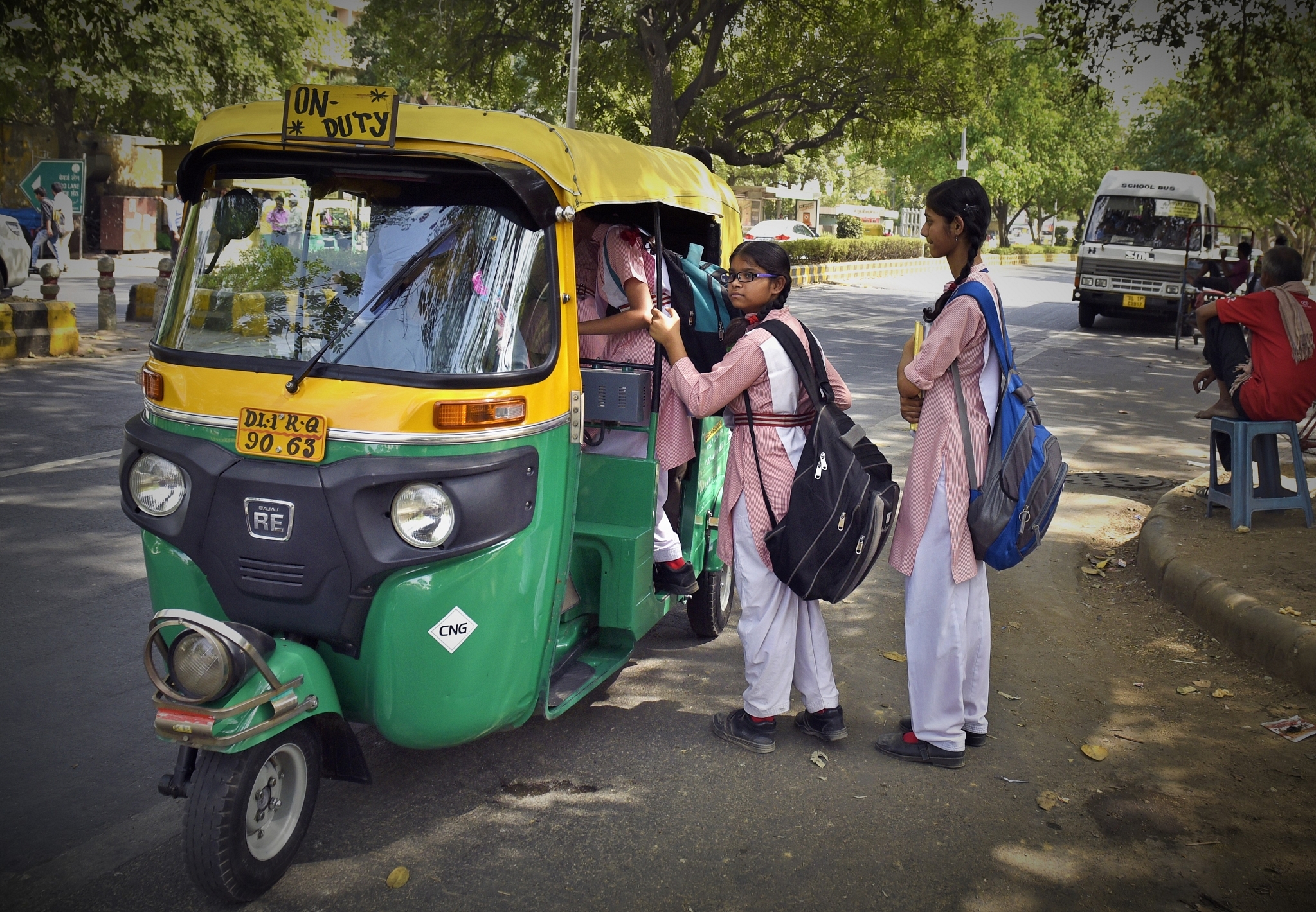
Representative Image (Photo by Sushil Kumar/Hindustan Times via Getty Images)
Google Maps users in Delhi can now view routes of auto rickshaws and also estimated fares by choosing this corresponding transport mode from Monday on wards, reports Livemint.
The estimated fares will be based on the fare model of Delhi Traffic police department. The feature will be available in Google Maps Android version.
The idea is to incorporate one of most commonly used public transport in Google Maps and share information about the price of the journey, said Google Maps product manager, Vishal Dutta. He added that currently when commuting in an unfamiliar route, passengers often overpay and don’t have an idea about the distance or best route.
Further, now Google Maps users can compare fares for auto transport and choose other modes of transportation like metro or bus if the fare is high.
Globally a billion kilometre of search results are shown by Google Maps every day and has the data of over three million public transport schedules, said a statement of Google.
Introducing ElectionsHQ + 50 Ground Reports Project
The 2024 elections might seem easy to guess, but there are some important questions that shouldn't be missed.
Do freebies still sway voters? Do people prioritise infrastructure when voting? How will Punjab vote?
The answers to these questions provide great insights into where we, as a country, are headed in the years to come.
Swarajya is starting a project with an aim to do 50 solid ground stories and a smart commentary service on WhatsApp, a one-of-a-kind. We'd love your support during this election season.
Click below to contribute.
Latest