News Brief
Government Maps Now Easily Accessible To Public Through Online Portals
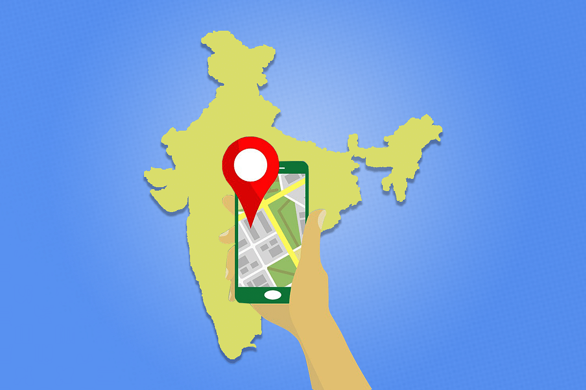
- Three online applications were inaugurated by the Ministry of Science and Technology, making geospatial data collected by the government easily accessible to the public for the first time.
Govt maps now easily available to the public.
The Ministry of Science and Technology released three online applications on 17 August, which makes government maps available to the general public through online means for the first time. The three online applications are – Survey of India (SOI) Geospatial Data Dissemination Portal, SOI's SARTHI: web Geographical Information System (GIS) application and MANCHITRAN Enterprise Geoportal of National Atlas and Thematic Mapping Organisation (NATMO).
This is yet another reform in the geospatial sector by the government after liberalising this sector six months back, in February. The new Draft National Geospatial Policy released by the Ministry in April this year states that geospatial data should be treated as a common good and should be made easily available.
Prior to the release of the portals, maps could be purchased through a manual procedure that required trips to the SOI Office. Making maps more easily accessible will help in spurring innovation in domestic companies and would also enable better planning and management of services for the Indian population. According to the draft Policy, the geospatial sector has the potential of reaching Rs 1 lakh crore by 2030.
The details of the three portals are -
The SOI Geospatial Data Dissemination Portal contains a huge repository of maps of the government, including the digital geographic map, railway map, political map and open series map, among others. Companies, individuals or researchers who require such maps can easily download them from the portal, some of which have been made freely available. Other maps can be accessed after making a payment.
Sarthi is a web GIS application which utilises the new advancements in web application development with GIS tools like spatial data visualisation, manipulation, analysis, etc., and will be easily accessible to the user with less utilisation of resources at the client's end.
It reduces the need to create custom applications and provides a platform for integrating GIS with other business systems, thereby helping with interoperability. It enables cross-organisational collaboration in consonance with the new Geospatial Policy. This portal can also be accessed in vernacular languages.
Manchitran is the new portal of NATMO, where a large collection of thematic maps are available, which include tourist maps and agricultural maps, among others. This would be useful for students, researchers, industry, decision-makers, policymakers, administrators, etc.
Earlier this year, in February, the government had liberalised the geospatial sector of India, allowing private companies for the first time to acquire, collect, generate, prepare, disseminate, store, share, publish, distribute, update, digitise and/or create geospatial data, including maps. This measure had allowed Indian companies to compete on equal terms with global peers.
The government is also hosting the second United Nations World Geospatial Information Congress (UNWGIC) in October 2022.
Geospatial data has moved on from being used just for traditional sectors such as mining, forestry, agriculture, etc., to being necessary for various other industries such as logistics, e-commerce, urban transport, infrastructure, telecommunication and public safety.
Support Swarajya's 50 Ground Reports Project & Sponsor A Story
Every general election Swarajya does a 50 ground reports project.
Aimed only at serious readers and those who appreciate the nuances of political undercurrents, the project provides a sense of India's electoral landscape. As you know, these reports are produced after considerable investment of travel, time and effort on the ground.
This time too we've kicked off the project in style and have covered over 30 constituencies already. If you're someone who appreciates such work and have enjoyed our coverage please consider sponsoring a ground report for just Rs 2999 to Rs 19,999 - it goes a long way in helping us produce more quality reportage.
You can also back this project by becoming a subscriber for as little as Rs 999 - so do click on this links and choose a plan that suits you and back us.
Click below to contribute.
Latest