News Brief
Historic Push For Indian Innovations In Map Tech: Cartography, Geo-Spatial Mapping Sector Fully Liberalised

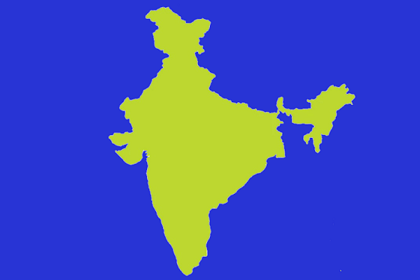
India Map
In a historic push for innovations in map technologies, the Narendra Modi led Central government has fully liberalised the cartography and geo-spatial mapping sector.
As per a report by Livemint, this liberalisation will mean that geospatial data and modern mapping technologies will now be available for Indian Companies.
These reforms are aimed at ending the cumbersome red-tape riddled regime which saw the private mapping industry having to seek a slew of licences, pre-approvals and permissions.
The guidelines [PDF] issued by the Ministry of Science and Technology state that the availability of data and modern mapping technologies to Indian companies is crucial for achieving India's policy aim of Atmanirbhar Bharat and the vision for a five trillion-dollar economy.
India currently relies heavily on foreign resources for mapping technologies and services and the sector's liberalisation means that domestic companies will now be able to carry out similar innovations and compete with global companies.
The guidelines add that with the advent of publicly available geospatial services, a lot of Geospatial Data that used to be in restricted zone are freely and commonly available now and some of the policies that used to regulate such information have been rendered obsolete and redundant. What is readily available globally does not need to be regulated.
Under these liberalised guidelines government or private companies will no longer need to seek prior approval, security clearance or license for collecting, creating, storing and publishing geospatial data or maps within India.
Only restricted and prohibited areas will be off limits for the map makers.
Introducing ElectionsHQ + 50 Ground Reports Project
The 2024 elections might seem easy to guess, but there are some important questions that shouldn't be missed.
Do freebies still sway voters? Do people prioritise infrastructure when voting? How will Punjab vote?
The answers to these questions provide great insights into where we, as a country, are headed in the years to come.
Swarajya is starting a project with an aim to do 50 solid ground stories and a smart commentary service on WhatsApp, a one-of-a-kind. We'd love your support during this election season.
Click below to contribute.
Latest