Insta
In A First, Survey Of India To Use Around 300 Drones For Preparing Unprecedented High Resolution Map Of The Country
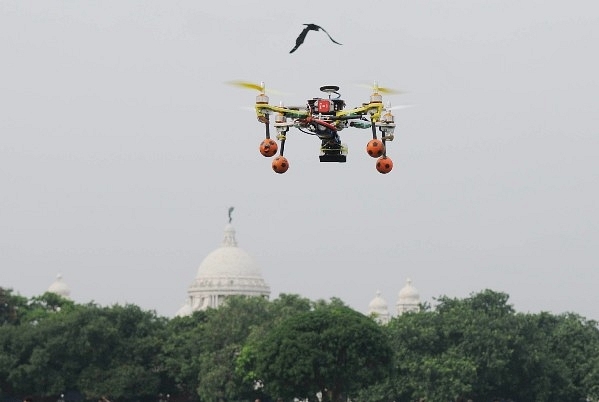
A Camera Drone (Represenative Image) (Samir Jana/Hindustan Times via Getty Images)
The Survey of India (SoI), which is country’s central engineering agency for mapping and surveying, will for the first time use about 300 drones to map the country, reports The Hindu.
The drone mapping will not only help the SoI in getting unprecedented detail of country’s landscape but will also help in creating high resolution maps of land in villages facilitating digitisation of land titles there.
According to the report, the map being prepared through the drones will be of 1:500 resolution, meaning 1 cm on the map will represent 500 cm on the ground. At present, the best SoI maps have a resolution of 1:2500.
“We’ve used aerial photography before for mapping purposes (taking pictures from planes) but that’s expensive and has its limitations. This is the right time to deploy drones,” said Gireesh Kumar, Director-General, SoI.
As per the report, the SoI is mulling on procuring about 300 drones for the mapping exercise, that is aimed to map 75 per cent of India’s geography within next two years. The organisation has so far procured about 30 drones for the purpose. The project for the foundational map is estimated to cost Rs 400-500 vro
The SoI, to start with, has signed six agreements with six districts in Haryana, 2 in Karnataka and 2 in Maharashtra to undertake such drone-based mapping exercise. The foundational map project is estimated to cost Rs 400-500 crore.
Support Swarajya's 50 Ground Reports Project & Sponsor A Story
Every general election Swarajya does a 50 ground reports project.
Aimed only at serious readers and those who appreciate the nuances of political undercurrents, the project provides a sense of India's electoral landscape. As you know, these reports are produced after considerable investment of travel, time and effort on the ground.
This time too we've kicked off the project in style and have covered over 30 constituencies already. If you're someone who appreciates such work and have enjoyed our coverage please consider sponsoring a ground report for just Rs 2999 to Rs 19,999 - it goes a long way in helping us produce more quality reportage.
You can also back this project by becoming a subscriber for as little as Rs 999 - so do click on this links and choose a plan that suits you and back us.
Click below to contribute.
Latest