Insta
Indian Railways Ties Up With ISRO: Satellite Imagery To Be Used To Monitor Assets
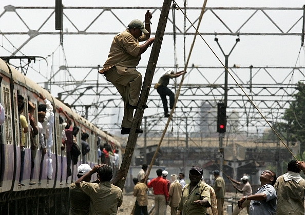
Railway workers repair overhead wire which was snapped between at between Khar and Santacruz. (Satish Bate/Hindustan Times via Getty Images)
In an attempt to ease the monitoring, maintenance, and management of various assets pertaining to the operations of Indian Railways, a Memorandum of Understanding (MOU) with the Indian Space Research Organisation (ISRO) has been signed. This will include the use of satellite imagery to track encroachments around stations and to monitor land assets belonging to the Indian Railways.
Given the wide coverage of the operations of the Indian Railways, the management of the assets has become difficult. Alongside, regular encroaching of land around old and new railway stations continues to pose a problem for the authorities.
The mapping will include all the assets of the Indian Railways in order to eventually develop the Geographic Information System (GIS) portal. With a December 2018 deadline in sight, the MOU has been signed with the Centre for Railway Information Centre (CRIS). The Bhuvan Platform of the ISRO will be used for the satellite imagery. The MOU has been signed for mutual cooperation in multiple phases between the Ministry of Railways and ISRO.
The images obtained via satellite imagery will be compared at regular intervals in order to track and monitor encroachments, as per the press release from the Ministry of Railways.
Support Swarajya's 50 Ground Reports Project & Sponsor A Story
Every general election Swarajya does a 50 ground reports project.
Aimed only at serious readers and those who appreciate the nuances of political undercurrents, the project provides a sense of India's electoral landscape. As you know, these reports are produced after considerable investment of travel, time and effort on the ground.
This time too we've kicked off the project in style and have covered over 30 constituencies already. If you're someone who appreciates such work and have enjoyed our coverage please consider sponsoring a ground report for just Rs 2999 to Rs 19,999 - it goes a long way in helping us produce more quality reportage.
You can also back this project by becoming a subscriber for as little as Rs 999 - so do click on this links and choose a plan that suits you and back us.
Click below to contribute.
Latest