Insta
Kerala: After Opposition To Satellite Survey For Ecologically Sensitive Zones, LDF Government Releases Forest Department Map
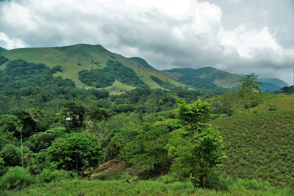
Shola Forests in Western Ghats of Kerala (Anand, Wikimedia Commons)
After facing massive backlash, the Left Democratic Front government has decided to keep aside the findings of the satellite survey and instead use a Forest Department map, to delineate human settlements in the 0-1 kilometre range of protected areas in the state.
The map is colour-coded to differentiate the land usage, which is, agricultural land, residences, commercial buildings etc.
The map is accessible online and can be used by the public to file objections by 7 January.
According to the protestors, the preliminary report of the satellite survey has captured just about 50,000 structures out of the estimated 2 lakh structures in the 0-1 km range of these protected areas.
Once an area is declared to be an Ecologically Sensitive Zone (ESZ), certain activities like major hydroelectric projects, commercial mining etc., are prohibited, but most other common human activities are permitted or allowed with safeguards.
The government intends to request the Supreme Court to exempt all human habitations within the 0-1 km range from the ESZ by saying that the state does not have much inhabitable land and if lot of people are displaced, it would be extremely difficult to rehabilitate them.
Support Swarajya's 50 Ground Reports Project & Sponsor A Story
Every general election Swarajya does a 50 ground reports project.
Aimed only at serious readers and those who appreciate the nuances of political undercurrents, the project provides a sense of India's electoral landscape. As you know, these reports are produced after considerable investment of travel, time and effort on the ground.
This time too we've kicked off the project in style and have covered over 30 constituencies already. If you're someone who appreciates such work and have enjoyed our coverage please consider sponsoring a ground report for just Rs 2999 to Rs 19,999 - it goes a long way in helping us produce more quality reportage.
You can also back this project by becoming a subscriber for as little as Rs 999 - so do click on this links and choose a plan that suits you and back us.
Click below to contribute.
Latest