Insta
NHAI Makes Use Of Drones Mandatory To Enhance Transparency In Road Development
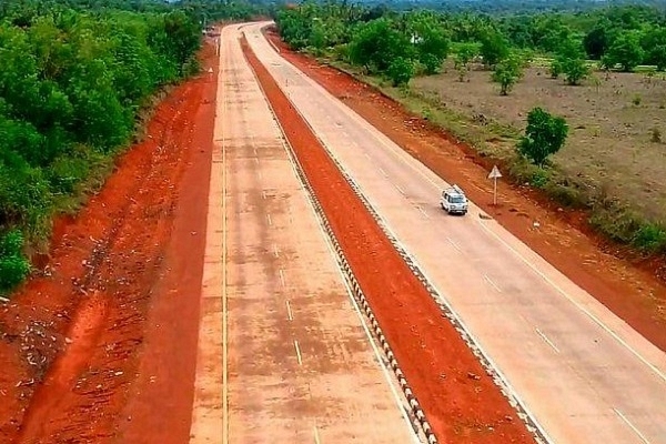
Ongoing work on Mumbai-Goa coastal highway (Pic by @sahil11p/Twitter)
To enhance transparency, uniformity and leverage the latest technology, the National Highways Authority of India (NHAI), under the Ministry of Road Transport and Highways, has made mandatory use of drones for monthly video recording of National Highway projects during all stages of development, construction, operation and maintenance.
Under it, contractors and concessionaires must carry out the drone video recording in the presence of the team leader of the supervision consultant and upload comparative project videos of the current and last month on NHAI’s portal ‘Data Lake’, capturing various project-related developments during the month.
“Supervision consultants shall analyse these videos and will provide their comments on the digital monthly progress reports covering various aspects of the project development. These videos will also be used by NHAI officials during the physical inspection of the projects to check the discrepancies and rectifications made on the earlier observations,” the Ministry of Road Transport and Highways said.
Additionally, project directors of NHAI will undertake monthly drone surveys from the date of signing of the contract agreement until the start of construction of the project at site and on completion of the project. NHAI will also undertake a monthly drone survey in all developed projects where NHAI is responsible for operation and maintenance.
Since these videos will be permanently stored on the ‘Data Lake’, they can also be used as evidence during the dispute resolution process before arbitral tribunals and courts.
Apart from this, mandatory deployment of a Network Survey Vehicle (NSV) to carry out a road condition survey on the National Highways to enhance quality will enhance the overall quality of the highways as NSV uses the latest survey techniques such as a high-resolution digital camera for 360-degree imagery, Laser Road Profilometer and other latest technology for the measurement of distress in the road surface.
Support Swarajya's 50 Ground Reports Project & Sponsor A Story
Every general election Swarajya does a 50 ground reports project.
Aimed only at serious readers and those who appreciate the nuances of political undercurrents, the project provides a sense of India's electoral landscape. As you know, these reports are produced after considerable investment of travel, time and effort on the ground.
This time too we've kicked off the project in style and have covered over 30 constituencies already. If you're someone who appreciates such work and have enjoyed our coverage please consider sponsoring a ground report for just Rs 2999 to Rs 19,999 - it goes a long way in helping us produce more quality reportage.
You can also back this project by becoming a subscriber for as little as Rs 999 - so do click on this links and choose a plan that suits you and back us.
Click below to contribute.
Latest