Insta
Uttarakhand: IIT Kharagpur To Develop Maps For Roorkee Identifying High Risk Areas For Earthquake-Damage

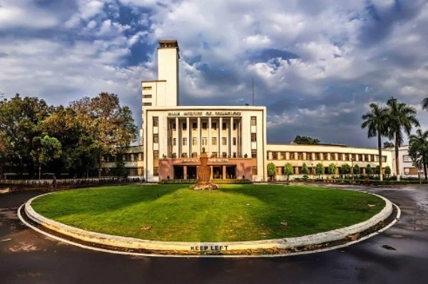
IIT Kharagpur Campus (IIT Kharagpur Page via Facebook)
Scholars at IIT-Kharagpur are developing detailed city-level maps for Roorkee, Uttarakhand, that can help identify areas expected to have the most damaging impact of an earthquake, reports The Tribune.
The research would reportedly help government officials to quickly identify areas with high hazard risk and send in rescue and relief teams without losing precious time, manually surveying the affected region when a disaster strikes.
“Saving time during a disaster is important, because time is life,” Prof Sankar Kumar Nath from IIT-Kharagpur, West Bengal, was quoted in the report as saying.
Seismic micro-zoning, as the method is known, is a technique of dividing potential earthquake area into different zones based on factors such as tectonics of plate, quality of soil, topography, type of buildings etc. to understand which areas within a city may get most impacted by an earthquake.
The technique would also take into account other secondary hazards such as the landslides or floods that may be caused due to the quakes.
Nath presented his proposal at the sixteenth Symposium on Earthquake Engineering organised at IIT-Roorkee, Uttarakhand, in collaboration with the Indian Society of Earthquake Technology.
Support Swarajya's 50 Ground Reports Project & Sponsor A Story
Every general election Swarajya does a 50 ground reports project.
Aimed only at serious readers and those who appreciate the nuances of political undercurrents, the project provides a sense of India's electoral landscape. As you know, these reports are produced after considerable investment of travel, time and effort on the ground.
This time too we've kicked off the project in style and have covered over 30 constituencies already. If you're someone who appreciates such work and have enjoyed our coverage please consider sponsoring a ground report for just Rs 2999 to Rs 19,999 - it goes a long way in helping us produce more quality reportage.
You can also back this project by becoming a subscriber for as little as Rs 999 - so do click on this links and choose a plan that suits you and back us.
Click below to contribute.
Latest