Politics
Nepal’s Saga Of Subservience To China Continues; This Time It’s Over Measuring Elevation Of Everest
- All those sacrifices and hard work by Nepal’s surveyors for a ‘project of national pride’ will come to naught now with China getting set to share the credit.
- As many in Nepal are saying, the Sagarmatha measurement project is no longer one of national pride, but one of national shame.
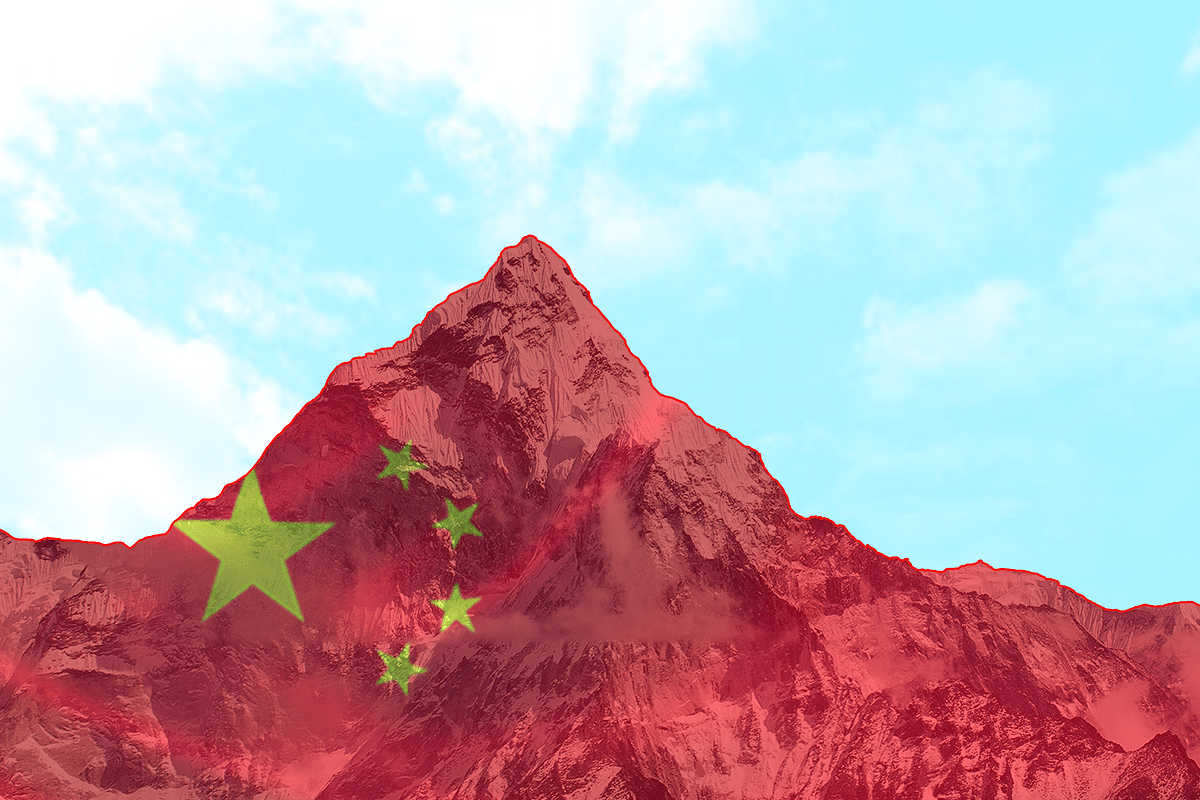
Mount Everest
China is ultimately having its way with Nepal over a contentious project to measure the height of Mount Everest.
China has been pressuring Nepal for over a year now to share credit for the elaborate project which Nepal initiated in 2017 and billed as one of ‘national pride’.
Kathmandu had declined offers of help in measuring the highest peak on earth from many countries, including India, Australia and UK, contending that it was well capable of undertaking the exercise on its own.
Eighty surveyors from Nepal’s Land Survey Department hiked, drove and flew thousands of kilometres to measure the peak from 300 different spots over three years from 2017.
Nepal held that conducting the exercise on its own would demonstrate to the world its technical prowess and would be a ‘coming into one’s own’ sort of project.
However, China, playing its favourite role of a bully, started leaning on Nepal to share credit for the exercise.
This was one of the most important items on the agenda during Chinese President Xi Jinping’s visit to Nepal in October last year.
Beijing started its own exercise to measure the height of the peak in 2018, but it knew that its own effort would lack legitimacy since ‘Sagarmatha’, as the peak is called in Nepal, lies in Nepal.
Beijing had, thus, been trying to coerce Kathmandu to agree to announce the results jointly.
But Kathmandu had its reservations since China had been insisting on measuring the peak till its rockhead instead of the snowcap on top of the rockhead.
Nepal’s contention has been that the elevation of the entire peak, including the snowcap, should be measured as Sagarmatha’s height.
Chinese Academy of Sciences and State Bureau of Survey and Mapping had measured ‘Zhumulangma’ (as the Everest is known in China) in 2005. China announced the height of the peak as 8,844.43 metres (29,017.16 feet) and claimed it to be the most accurate announcement.
But that was the height of the peak till the rockhead, and not the snowcap. Chinese surveyors had measured the height of the snowcap (above the rockhead) as 3.5 metres (eleven feet).
Jinping, in his meeting with Nepal Prime Minister Kadga Prasad Sharma Oli last year, bulldozed the latter into agreeing to announce the height of the peak jointly.
The two sides issued a joint statement at the end of the visit which read:
“Recognizing that Mount Sagarmatha /Zhumulangma is an eternal symbol of the friendship between Nepal and China, the two sides will promote cooperation in different fields, including addressing climate change and protecting the environment. They will jointly announce the height of Mount Sagarmatha/Zhumulangma and conduct scientific researches”.
But Oli’s buckling under pressure from Jinping generated a lot of resentment among politicians, including those from his own party, as well as bureaucrats, academia, intelligentsia and the masses in Nepal.
The two sides could not also resolve their differences over what would be declared as the height of the peak: the rockhead or the snowcap elevation.
The exercise to measure the height of the peak was necessitated by the 2015 earthquake that devastated Nepal. Many experts held that the height of the peak had shrunk as a result of the quake.
Also, surveys carried out by different countries in the past have thrown up different measurements, and Nepal wanted to put all disputes over the actual height of the world’s tallest peak to rest by conducting its own survey.
Nepal had attempted a similar exercise in 2011, but could not complete it due to lack of funds and political instability that was prevailing in the country at that time.
But last week, the two countries resolved their differences over what would be the official height of the Everest – the rockhead or the snowcap elevation.
Beijing, in a bid to assuage the outrage in Nepal over its intimidation, accepted Nepal’s stand. Nepal’s Land Management Minister said that China has agreed that the snowcap atop the rockhead should be included in the official height of the peak (read this).
But it is a pyrrhic victory for Nepal. After having spent $1.3 million (about 14.72 crore Nepali Rupees) and tens of thousands of man hours, Nepal will have to share credit for the whole exercise with China.
Nepal’s surveyors underwent a lot of difficulties in conducting the measurements from 300 different spots in the high Himalayan ranges.
On 22 May last year, Nepali surveyors Khem Lal Gautam and Rabin Karki summited Mount Everest with more than 40 kilograms of equipment (in addition to climbing gear).
They spent nearly two hours on the peak taking readings from the ground-penetrating radar and state-of-art satellite navigation device. That was a feat in itself!
Gautam lost a toe to frostbite while Karki nearly died after running out of oxygen while descending.
All those sacrifices and hard work by Nepal’s surveyors for a ‘project of national pride’ will come to naught now with China getting set to share the credit.
As many in Nepal are saying, the Sagarmatha measurement project is no longer one of national pride, but one of national shame.
Support Swarajya's 50 Ground Reports Project & Sponsor A Story
Every general election Swarajya does a 50 ground reports project.
Aimed only at serious readers and those who appreciate the nuances of political undercurrents, the project provides a sense of India's electoral landscape. As you know, these reports are produced after considerable investment of travel, time and effort on the ground.
This time too we've kicked off the project in style and have covered over 30 constituencies already. If you're someone who appreciates such work and have enjoyed our coverage please consider sponsoring a ground report for just Rs 2999 to Rs 19,999 - it goes a long way in helping us produce more quality reportage.
You can also back this project by becoming a subscriber for as little as Rs 999 - so do click on this links and choose a plan that suits you and back us.
Click below to contribute.
Latest