Insta
BBMP Becomes First Indian Civic Body To Use Space Tech, Will Collaborate With ISRO To Solve City’s Issues
Swarajya Staff
Sep 29, 2018, 03:38 PM | Updated 03:38 PM IST
Save & read from anywhere!
Bookmark stories for easy access on any device or the Swarajya app.


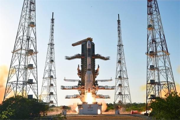
Bruhat Bengaluru Mahanagara Palike (BBMP) has decided to use the power of space technology to deal with civic issues such as encroachment of lakes, illegal dumping of garbage, potholes and others. This will be the first time a municipal corporation will be collaborating with ISRO (Indian Space Research Organisation) to use the tech in order to deal with issues.
BBMP had signed a Memorandum of Understanding (MoU) with ISRO in 2016. By January, the data analysis of pictures captured by the satellites will take place. The spatial information will be disseminated to all the BBMP officials in 198 wards, twice a year. Real time matching of properties will be carried out so that corrections can made.
Bangalore Mirror quoted an official as saying, “ISRO will send us pictures and data of geographical areas within BBMP wards from which we can analyse encroachment of government lands, violation of BBMP laws while constructing the property etc. With this, we can also identify if property owners have misled the BBMP in declaring the actual property dimensions in their assessments.”
“This will help us update our systems with data and photos, so that we can identify errors. For example, if a property owner claims to have just five floors and has constructed more, then satellite data will provide us with exact information. It will also help us identify the actual number of properties in the city.”
It will take about two months to complete the work on the part of the BBMP and the analysis will begin by January 2019. This will bring about changes in tax generation, revenue collection etc.


