Insta
NASA’s Night-Shots Show Huge Growth Of Indian Cities Between 2012 And 2016
Swarajya Staff
Apr 14, 2017, 02:21 PM | Updated 02:21 PM IST
Save & read from anywhere!
Bookmark stories for easy access on any device or the Swarajya app.


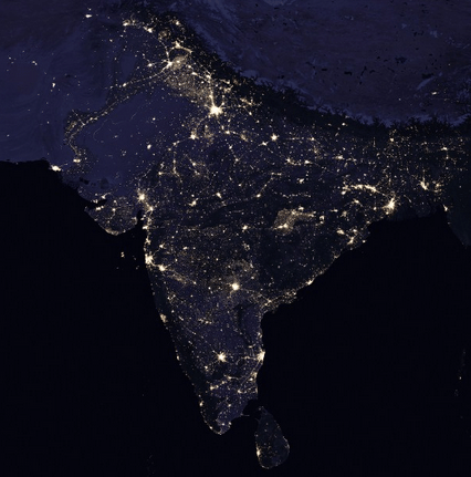
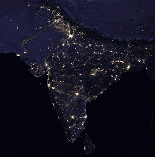
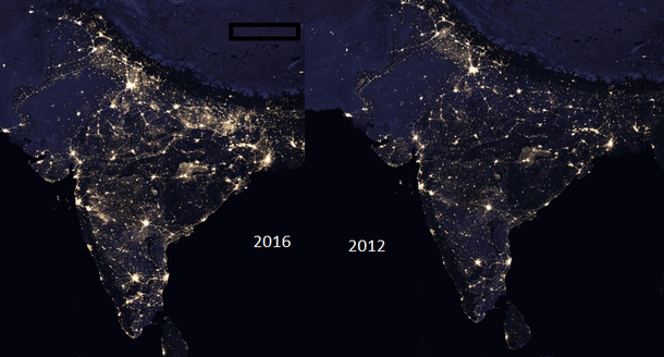
New satellite imagery released by National Aeronautics and Space Administration (NASA) on Thursday has revealed that Indian cities have grown bigger in the last few years, CNN has reported. The images show large swaths of northern India, that were relatively dark in the images released by the agency in 2012 , lit up as new urban areas.

Interestingly, this is in line with the data released by Oxford Economics in its Global City Forecast. According to the forecast, one of the most widely accepted in the world, 14 of the 20 fastest-growing cities in the 2015-19 period are in India.
Night shots released by NASA are a part of its "Earth at Night" program run by the agency’s Goddard Space Flight Center. It aims to provide "the clearest yet composite view of the patterns of human settlement across our planet."
See all of the lights -- @NASA's first new global views of Earth at night since 2012. https://t.co/PeCTyyE5Ib pic.twitter.com/zbmtqbWRXB
— NASA Earth (@NASAEarth) April 12, 2017
“They have provided a broad, beautiful picture, showing how humans have shaped the planet and lit up the darkness. Produced every decade or so, such maps have spawned hundreds of pop-culture uses and dozens of economic, social science and environmental research projects,” NASA said in a statement.
According to the agency, these images can be used to monitor changes driven by urbanisation, out-migration, economic changes, and electrification.


