News Brief
India Geotagging Patrol Points Along LAC To Better Demarcate China Border After Disengagement, Enhance Security
Arun Dhital
Apr 29, 2025, 12:03 PM | Updated 12:03 PM IST
Save & read from anywhere!
Bookmark stories for easy access on any device or the Swarajya app.


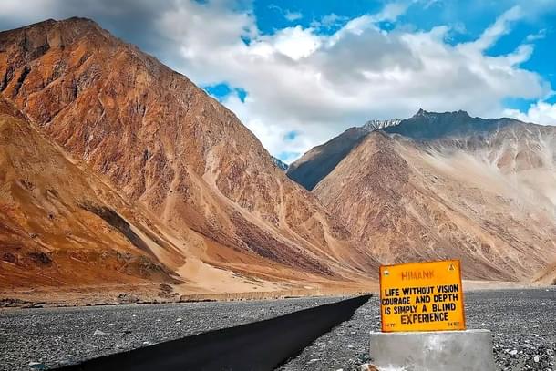
India is currently geotagging established patrol points and other significant landmarks along the Line of Actual Control (LAC) in eastern Ladakh, The Indian Express reported. This initiative is aimed at facilitating easier identification and demarcation of its border with China, further allowing Indian troops to patrol more efficiently and prevent confrontations with Chinese soldiers.
Over the past six months, India has implemented several tactical developments. These include heightened surveillance, consistent patrolling, and regular communication between Indian and Chinese commanders at multiple levels. In addition, there has been a repositioning of Indian troops stationed along the LAC.
On 21 October 2024, Indian and Chinese negotiators reached an agreement on patrolling arrangements along the LAC, resulting in "disengagement and a resolution of the issues that had emerged in these areas in 2020," The Indian Express mentioned.
The declaration came from India and subsequently led to a one-on-one meeting between Prime Minister Narendra Modi of India and President Xi Jinping of China. This meeting took place on the sidelines of the BRICS leaders' summit in Kazan, Russia.
Several days later, the Army announced its successful patrol at one of the five designated points in the Depsang area of eastern Ladakh. This marked a first since the onset of the standoff in 2020.
The understanding of the LAC has always been a point of disagreement between India and China. Government insiders have stated that while some mountain features along the border are easily recognised, there are differing views on others. These discrepancies have been the subject of numerous military and diplomatic-level conversations between the two countries.
The troops are instructed to maintain a distance of 200 meters from the Chinese forces and avoid any physical interaction. If any engagement occurs, they are to capture photographs and retreat to report the incident.
By geotagging current patrol points, significant characteristics, and landmarks, the delineation of the LAC can be made clearer. This process will facilitate easier recognition of contested regions along the LAC during future discussions aimed at resolution.


