News Brief
India Launches National Red List Assessment To Map Species Extinction Risk By 2030
Swarajya News Staff
Oct 11, 2025, 07:26 PM | Updated Oct 12, 2025, 09:04 AM IST
Save & read from anywhere!
Bookmark stories for easy access on any device or the Swarajya app.
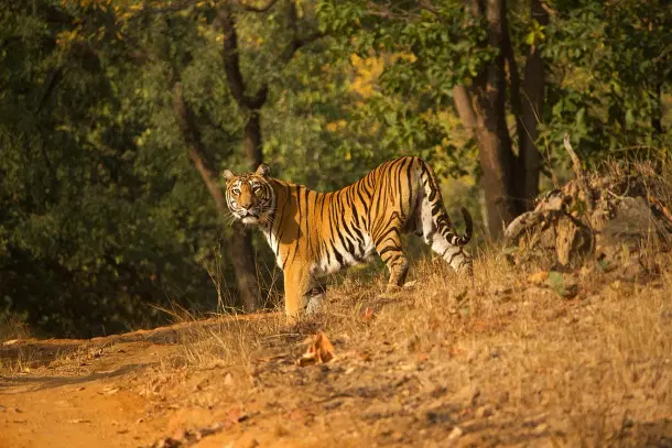

India has launched a National Red List Assessment initiative to accurately map the conservation status of its species and support evidence-based conservation planning.
Union Minister of State for Environment, Forest and Climate Change Kirti Vardhan Singh unveiled the National Red List Roadmap at the IUCN World Conservation Congress in Abu Dhabi on Thursday (9 October), describing it as a reflection of India's extraordinary efforts in biodiversity documentation and threat assessment.
The Vision 2025–2030 document, prepared by the Zoological Survey of India and the Botanical Survey of India in collaboration with IUCN-India and the Centre for Species Survival, will assess 11,000 species by 2030, aligning with IUCN global standards and supporting India's Biodiversity Action Plan.
The initiative aims to publish National Red Data Books for both flora and fauna by 2030, forming a cornerstone for evidence-based conservation, development planning and threat mitigation.
India stands amongst the world's 17 megadiverse countries, home to four of the 36 global biodiversity hotspots.
Although occupying only 2. 4 per cent of the world's land area, it harbours nearly 8 per cent of global flora and 7. 5 per cent of global fauna, with 28 per cent of plants and over 30 per cent of animals being endemic.
The National Red List Assessment initiative will fulfil commitments under the Convention on Biological Diversity and the Kunming–Montreal Global Biodiversity Framework.
India's National Red List Assessment will distinguish itself as one of the most comprehensive and collaborative national efforts, bringing together the country's leading taxonomists, conservation biologists and subject experts under a unified, nationally coordinated framework.
The initiative will create a centralised biodiversity database and promote data-driven conservation decisions using digital tools and GIS mapping for species monitoring.
Get Swarajya in your inbox.
Magazine