Insta
Kerala’s Once-In-A-Century Flood: Experts At NASA Say Releases Of Water From Dams Came ‘Way Too Late’
Swarajya Staff
Aug 27, 2018, 02:58 PM | Updated 02:58 PM IST
Save & read from anywhere!
Bookmark stories for easy access on any device or the Swarajya app.


In a recent report, American space agency National Aeronautics and Space Administration (NASA) has called Kerala floods the worst natural disaster the region has faced since 1924, terming it a ‘once-in-a-century’ event.
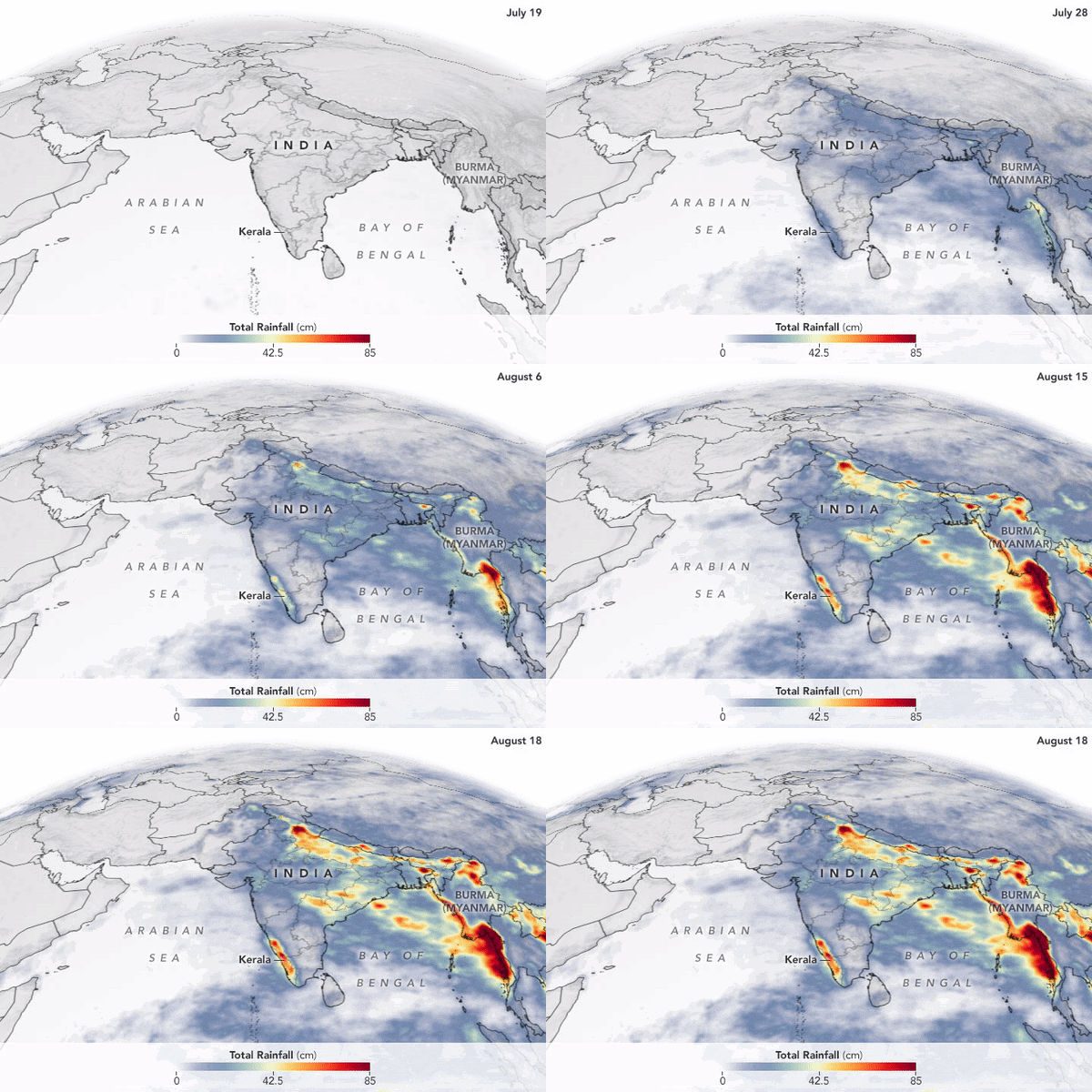
NASA also released an animation created using satellite data to show the rainfall accumulation over several parts of Asia, with South-East Asia also receiving heavy rains between the 19 July to 18 August period.
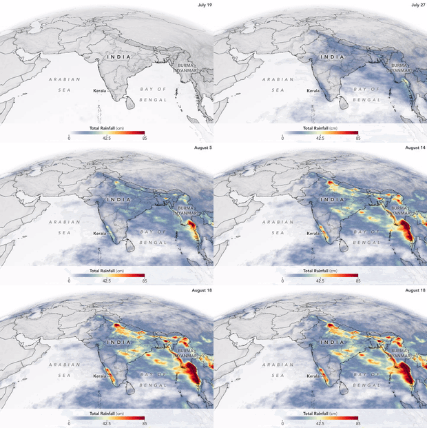
Here is a representation by NASA of the extreme rainfall which befell Kerala:
As detailed by NASA, the rainfall peaked in Kerala on 20 July and reached abnormally high levels between 8 to 16 August. The state, as a result, received 164 per cent more than average rainfall from 1 to 10 August.
NASA also claimed that the floods in Kerala were worsened by uncoordinated water release from almost overflowing dams. According to the space agency, authorities were forced to open 80 dams including Idukki, when they should have instead gradually released water before the floods.
As per a research scientist at NASA's Goddard Space Flight Center - Sanjay Kumar, “The dam releases came way too late, and it coincided with the heavy rain that was occurring”.
Rainfall data released by NASA was sourced from the Integrated Multi-Satellite Retrievals (IMERG), which is a product of the Global Precipitation Measurement (GPM) mission.


