Insta
Unfamiliar Way? Don’t Overpay: Delhi Residents Can Now Use Google Maps To View Auto-Rickshaw Routes And Estimate Fares
Swarajya Staff
Dec 18, 2018, 01:13 PM | Updated 01:13 PM IST
Save & read from anywhere!
Bookmark stories for easy access on any device or the Swarajya app.
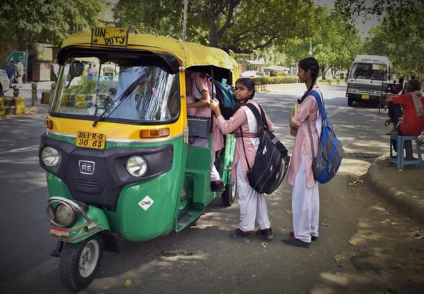
Google Maps users in Delhi can now view routes of auto rickshaws and also estimated fares by choosing this corresponding transport mode from Monday on wards, reports Livemint.
The estimated fares will be based on the fare model of Delhi Traffic police department. The feature will be available in Google Maps Android version.
The idea is to incorporate one of most commonly used public transport in Google Maps and share information about the price of the journey, said Google Maps product manager, Vishal Dutta. He added that currently when commuting in an unfamiliar route, passengers often overpay and don’t have an idea about the distance or best route.
Further, now Google Maps users can compare fares for auto transport and choose other modes of transportation like metro or bus if the fare is high.
Globally a billion kilometre of search results are shown by Google Maps every day and has the data of over three million public transport schedules, said a statement of Google.
Get Swarajya in your inbox.
Magazine