News Brief
Indian Railways To Use Laser Technology To Carry Out Ground Survey For Delhi-Varanasi Bullet Train Project
Arun Kumar Das
Dec 08, 2020, 10:31 AM | Updated 10:31 AM IST
Save & read from anywhere!
Bookmark stories for easy access on any device or the Swarajya app.
The National High Speed Rail Corporation Limited (NHSRCL) will be employing the latest technology, laser enabled equipment mounted on a helicopter, to prepare the Detailed Project Report (DPR) for the proposed Delhi-Varanasi High Speed Rail corridor.
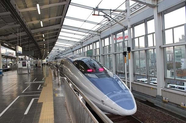
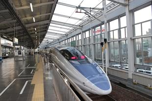
NHSRCL, which is executing the first bullet train project of the country between Mumbai and Ahmedabad, will be adopting Light Detection and Ranging Survey (LiDAR) technique for conducting ground survey for the preparation of DPR for the Delhi-Varanasi High Speed Rail Corridor.
The Delhi-Varanasi corridor is among the eight high-speed networks that the railways is planning across the country.
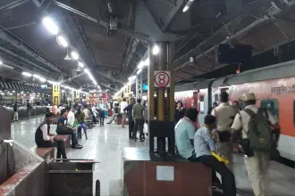
The nearly 865 km long Delhi-Varanasi corridor will pass through prominent cities like Noida, Agra, Kanpur, Lucknow and Ayodhya before reaching Varanasi.
Draft report of the DPR for the corridor has been submitted to the Railways on 29 October 2020.
Besides, connecting Ayodhya, the high speed rail route would connect the upcoming international airport at Jewar in Gautam Buddha Nagar District of Uttar Pradesh.
In order to finalise the detailed project report, LiDAR survey is planned to be carried out on the proposed alignment.
The alignment or ground survey is a crucial activity for any linear infrastructure project as the survey provides accurate details of areas around the alignment. This technique uses a combination of laser data, GPS data, flight parameters and actual photographs to give accurate survey data.
Based on the findings of the survey, designing of the vertical and horizontal alignment, structures, location of the stations and depots, land requirement for the corridor, identification of project affected plots/structures, right of way etc, are decided.
The aerial LiDAR survey technique, for the first time for any railway project in India, was adopted for the Mumbai-Ahmedabad High Speed Rail Corridor (MAHSR) primarily because of its high accuracy. The ground survey using aerial LiDAR for MAHSR alignment was done only in 12 weeks against the 10-12 months if it had been done through traditional survey methods.
Keeping in mind the magnitude of the project and adhering to the timelines to submit the DPR of the corridor, the ground survey using aerial LiDAR technique has already started.
Reference points on the ground have already been marked and data collection through equipment mounted on a helicopter will commence from 13 December 2020 (depending on the weather conditions) in a phased manner.
The requisite permissions from the Ministry of Defence for flying the helicopter have been received and the inspection of the aircraft and equipment are underway.
The proposed Delhi-Varanasi high speed rail alignment covers mixed terrains including densely populated urban and rural areas, highways, roads, ghats, rivers, green fields etc, which makes this activity more challenging.
The tentative length of the corridor is about 865 km, the alignment and stations will be decided in consultation with the government.
Arun Kumar Das is a senior journalist covering railways. He can be contacted at akdas2005@gmail.com.
Get Swarajya in your inbox.
Magazine